
The Philippines’ location on the globe makes it a fascinating and complex place in terms of both geography and climate. Sitting in the Pacific Ring of Fire and along the path of the Intertropical Convergence Zone (ITCZ), the country benefits from abundant natural resources and rich biodiversity.
However, this same positioning exposes it to a host of natural disasters like typhoons, volcanic eruptions, and earthquakes. As climate change amplifies the frequency and intensity of these events, raising awareness about how the climate interacts with geographical factors is a must for resilience and survival.
For a more detailed representation of Philippine weather patterns, months are grouped in this article based on several key factors, including seasonal winds, precipitation levels, and temperature variations.
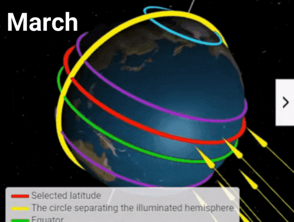
January to March

ITCZ Position
The Intertropical Convergence Zone (ITCZ) is usually near or slightly south of the equator. The Philippines experiences the Northeast Monsoon (Amihan) which brings cooler, dry air from Siberia.
March Equinox
Approximately on March 20 or 21, this is the period when the sun is directly above the equator. The increase in temperature also becomes more felt around this period.
Typhoon Risk
Low to moderate.
Coriolis Effect
Causes the northeast trade winds to flow southwestward and reinforces the Amihan.
Axial Tilt
The Northern Hemisphere is tilted away from the sun which leads to cooler temperatures.
Temperature
Cooler temperatures ranging from 20°C to 30°C. Areas like the Cordilleras (e.g., Baguio) can experience temperatures as low as 12°C to 16°C.
Rainfall
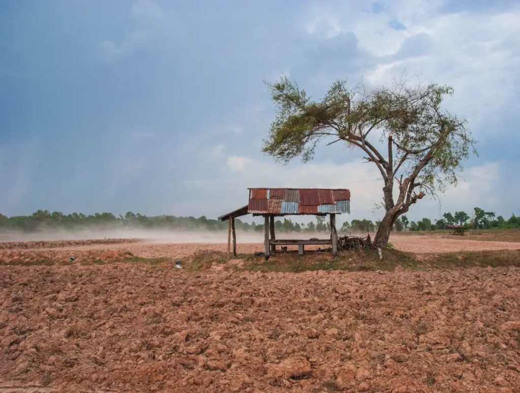
This is the dry season for most of the country, with limited rainfall, particularly in the western regions. Average rainfall is around 50-100 mm.
Humidity
Lower humidity, typically between 70-85%.
UV Index
Moderate to high, with values between 6 to 8.
Daylight
Around 11.5 to 12 hours of daylight.
Historical Extremes
The coldest recorded temperature in Baguio was 6.3°C in January 1961.
April to June
ITCZ Position
Shifts northward, coming closer to the Philippines by late May and June.
June Solstice
The summer solstice often occurs around June 21. The sun is directly above the Tropic of Cancer, an imaginary line of latitude just north of the northernmost tip of the Philippines.
Typhoon Risk
Low in April and May, but begins to increase in June.
Coriolis Effect
The Northeast Monsoon weakens, and the Southwest Monsoon (Habagat) begins to develop.
Axial Tilt
The Northern Hemisphere tilts toward the sun, resulting in warmer temperatures.
Temperature
This is the hottest period, with temperatures peaking at 30°C to 40°C. Tuguegarao in Cagayan is known for extreme heat, often exceeding 40°C.
Rainfall
Minimal rainfall in April and May, increasing in June as the monsoon season begins.
Humidity
Humidity increases as the wet season approaches, ranging from 75-90%.
UV Index
Very high, especially in April and May, with values between 8 to 11.
Sun Angle
The sun is near its zenith, leading to intense sunlight.
Daylight
Daylight increases to around 12.5 hours in June.
Growing Period
The onset of the wet season marks the beginning of the primary growing period for rice and other crops.
Historical Extremes
The highest recorded temperature in Tuguegarao was 42.2°C in May 1969.
July to September
ITCZ Position
Positioned north of the equator, close to the Philippines, contributing to the peak of the Southwest Monsoon.
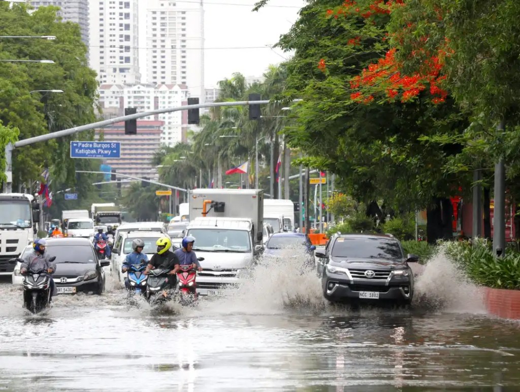
Typhoon Risk
Very high, with the peak typhoon activity occurring from July to September.
Coriolis Effect
The Southwest Monsoon dominates, bringing moist air from the oceans.
Axial Tilt
The Northern Hemisphere is in summer, leading to long days and high temperatures.
Temperature
Warm, with temperatures ranging from 28°C to 35°C, though frequent rains help to cool the atmosphere.
Rainfall
This is the wettest period, with 200-300 mm of rainfall per month, especially in the western regions like Metro Manila and the Cordilleras.
Humidity
High, often exceeding 85%, leading to very humid conditions.
UV Index
High but slightly reduced due to cloud cover, with values around 7 to 10.
Sun Angle
The sun remains high, particularly in July.
Daylight
Around 12.5 to 13 hours of daylight.
Growing Period
Optimal for rice and corn, with sufficient water from monsoon rains.
Historical Extremes
Some of the highest rainfall totals have been recorded in Baguio, exceeding 1,000 mm in a single month.
October to December

ITCZ Position
Shifts southward, moving away from the Philippines by December.
Typhoon Risk
High in October but decreases as the year ends.
Coriolis Effect
The Northeast Monsoon (Amihan) returns, bringing cooler, dry air from the northeast.
Axial Tilt
The Northern Hemisphere starts tilting away from the sun, resulting in shorter days and cooler temperatures.
Temperature
Cooling trend with temperatures between 22°C to 32°C. Metro Manila often experiences warmer temperatures compared to rural areas.
Rainfall
Rainfall decreases, with lingering effects of the monsoon and tropical cyclones, particularly in the eastern regions.
Humidity
Moderate, around 75-85%.
UV Index
Moderate to high, with values between 6 to 8.
Sun Angle
The sun moves toward the Southern Hemisphere, resulting in a lower sun angle.
Daylight
Shortens to around 11.5 to 12 hours by December.
Growing Period
This is the harvest season for crops planted during the wet season.
Historical Extremes
The strongest typhoons, such as Typhoon Yolanda (Haiyan) in November 2013, typically occur during this period.
Additional Climatic and Geographic Influences
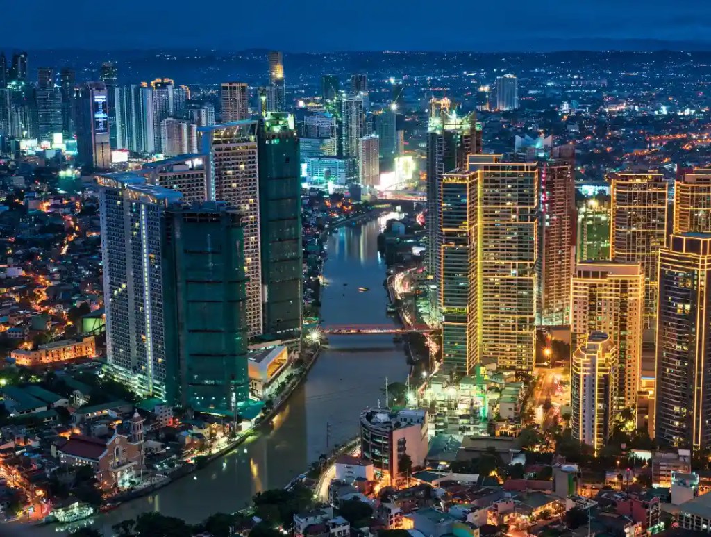
Urban Areas and Thunderstorms
Urbanization, particularly in cities with many skyscrapers like Metro Manila, can influence local weather patterns. Skyscrapers can cause the following:
Increased Convection
Tall buildings can enhance upward motion in the atmosphere, leading to increased convection and, consequently, more thunderstorms.
Urban Heat Island Effect
Urban areas tend to be warmer due to the concentration of buildings, roads, and human activities. This warmth can enhance convection and contribute to localized rainfall and thunderstorms.
Pollution
Urban areas have higher levels of pollution, which can act as cloud condensation nuclei, enhancing cloud formation and possibly increasing rainfall.
Mountains, Valleys, and Rivers
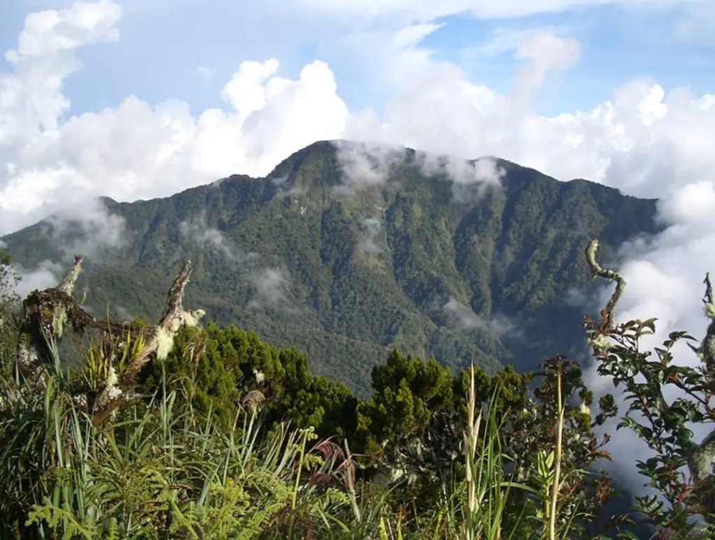
Mountains
The Philippines is characterized by numerous mountain ranges, such as the Sierra Madre, Cordillera, and the volcanic mountains in Mindanao. These mountains affect local climates by:
- Orographic Rainfall
As moist air rises over mountains, it cools and condenses, leading to heavy rainfall on the windward side. The leeward side, or rain shadow area, receives less rain, leading to drier conditions.
- Temperature Regulation
Mountains can create cooler microclimates, particularly in elevated areas. The Cordilleras, for instance, remain cooler throughout the year.
Valleys
Valleys, such as the Cagayan Valley, experience more extreme temperatures due to their lower elevation and surrounding mountains. They can trap heat, leading to hotter conditions during the day and cooler conditions at night.
- Air Drainage
At night, cooler, denser air from surrounding mountains drains into valleys, leading to lower nighttime temperatures.
Rivers
Rivers can moderate local temperatures by providing a source of moisture, which can enhance evaporation and cooling. However, during the dry season, they can also contribute to higher humidity levels, making the heat feel more oppressive.
Additional Representations
Philippine Hottest Months
Philippines doesn’t have a “summer” season although the months of March, April and May are often referred to as “summer” by the locals.
The Philippines has a complex climate influenced by the ITCZ, monsoons, and various geographical features. Urbanization and natural features like mountains and valleys further complicate local weather patterns. Adapting to climate change requires an understanding of how these factors play out and how climate projections can affect them.
CVCR aims to channel reliable information to citizens of Cagayan Valley and the Philippines in general to help prepare a ready mindset for what the future has to offer.

Leave a comment