
The Philippines has long been known as a typhoon-prone nation because of its position in the Pacific typhoon belt. Each year, around 20 typhoons enter the Philippine Area of Responsibility (PAR), with roughly eight or nine making landfall. While all regions are vulnerable to these storms, areas facing the Pacific, particularly Northern Luzon, Eastern Visayas, and the Bicol Region, bear the brunt of these devastating weather patterns.
Every time a typhoon is on the horizon, the first question that needs answering is, ‘What areas will be affected?’ since knowing the path of a typhoon can save lives and reduce risks. When we look at the data, it’s clear that some areas of the Philippines are hit more frequently than others. Regions mentioned above like Northern Luzon, Eastern Visayas, and the Bicol Region are more exposed because they face the Pacific Ocean, where typhoons typically form and gain strength.
Several factors determine a typhoon’s path and intensity. The Earth’s rotation, wind patterns, sea surface temperatures, and atmospheric pressure all play a part. For example, the Coriolis effect causes typhoons to curve and pulls them northward as they move west from the Pacific. The Western Pacific Subtropical High also guides typhoons and cause to push them along its edges, which often leads storms toward the Philippines.
As climate change progresses, scientists predict that typhoons may become more intense with stronger winds and heavier rainfall. This is due to warming sea surface temperatures, which serve as fuel for storms to grow. Changes in atmospheric conditions and wind patterns may also shift typhoon paths slightly and potentially expos new areas to increased risk.
What are the trajectories or paths of typhoons in the Philippines?

The globe is divided into hemispheres with the Philippines located in the North, just above the equator. In the Northern Hemisphere, typhoons typically move in a west-northwest direction. As a result, typhoons that develop in the Pacific Ocean usually move towards the west and gradually curve northward as they approach landmasses such as the Philippines, Taiwan, and Japan.
Once over the Philippine archipelago, typhoons generally continue their westward journey and start affecting various regions across the country before exiting towards the South China Sea.
What Factors Affect The Direction of Typhoons In The Philippines?
Western Pacific Subtropical High (WPSH)
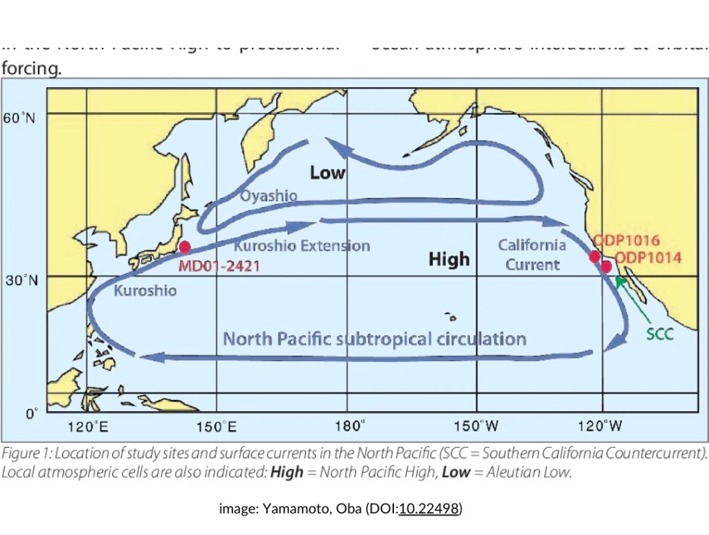
The Western Pacific Subtropical High, is a part of the bigger North Pacific High. It is a large, semi-permanent high-pressure system located over the western Pacific. When strong, the WPSH can push typhoons toward the Philippines, while a weakened WPSH may allow typhoons to recurve toward Japan, Taiwan or South Korea. The WPSH can also affect the steering currents and influence the speed and path of typhoons.
FACT: High-pressure areas are regions where air sinks and spreads out with calm, clear and stable weather conditions. High-pressure systems create winds that flow outward and push away nearby low-pressure systems. This interaction between the high-pressure areas outward flow of air can redirect or weaken low-pressure areas.
Intertropical Convergence Zone

The ITCZ or the Intertropical Convergence Zone is a prominent influential factor in the climate and weather of the Philippines. It is that belt of low pressure that circles the Earth near the equator, where the trade winds from the Northern and Southern Hemispheres converge. This convergence results in rising air or convection, which leads to the formation of clouds and frequent precipitation, including the development of tropical cyclones.
The location of the ITCZ is not static, nor in a straight line like the equator. It curves through the countries it affects and responds to various factors like atmospheres, oceans and geography. ITCZ follows warmth or the sun’s zenith point so it shifts north and south of the equator throughout the year while following the position of the sun. ITCZ’s seasonal shifting is a major force in bringing rains to different regions and may be a factor in the paths that typhoons traverse.
Sea Surface Temperatures (SST)
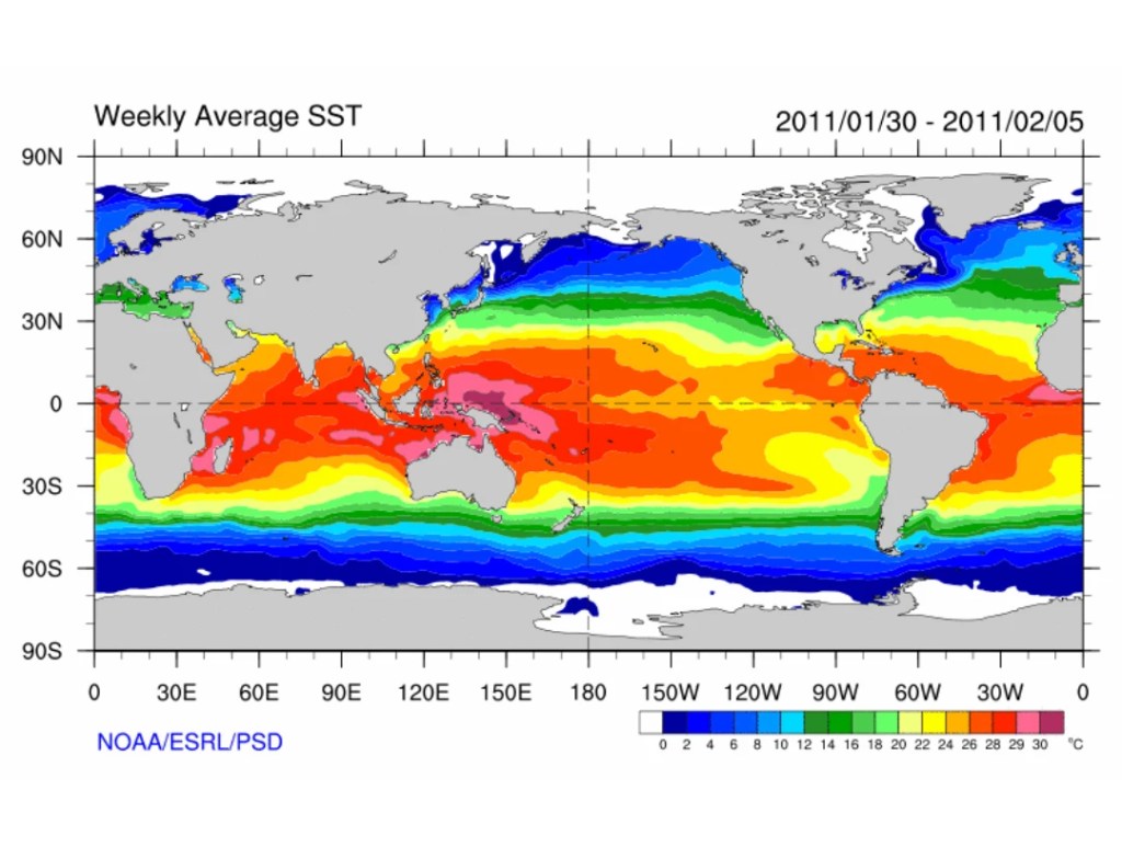
Warm sea surface temperatures are a part of typhoon intensification because typhoons draw energy from warm ocean waters. Typically, SSTs of at least 26°C (78.8°F) are needed to sustain and intensify tropical cyclones. Higher SSTs during an El Niño event can lead to stronger typhoons with higher intensities and potential for rapid intensification. With climate change, warming waters around the Philippines contribute to powerful storms and may even be a breeding ground for typhoons that form close to coastal areas.
DID YOU KNOW? A study found that marine heatwaves (extended periods of unusually warm ocean temperatures) over the western North Pacific and Atlantic Ocean can make tropical cyclones stronger and may lead to a maximum intensity of 35.4% stronger (106.72 kts) tropical cyclone.
Vertical Wind Shear
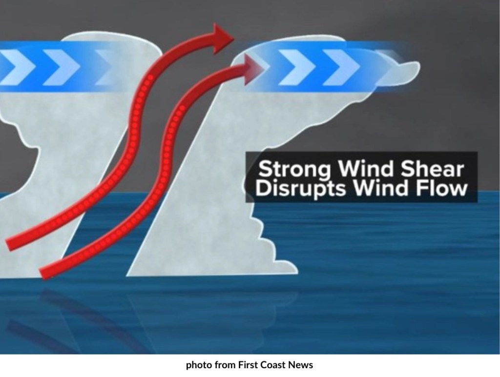
Vertical wind shear is the difference in wind speed and direction between the upper and lower levels of the atmosphere. Low vertical wind shear allows storms to organize and strengthen, while high shear disrupts their structure, often weakening them. The Philippine Sea typically has lower wind shear during peak typhoon season, a factor that favors typhoon intensification as they move westward.
El Niño-Southern Oscillation (ENSO)
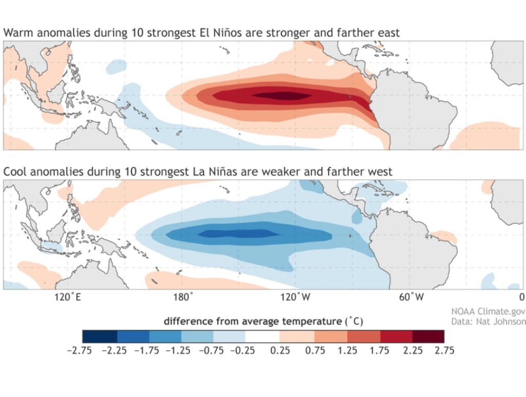
It does not come as a surprise that El Niño and La Niña phases impact typhoon frequency and strength. During El Niño, the warm water shifts eastward which often results in more intense typhoons forming closer to the Philippines, while La Niña can lead to an increase in the number of storms and can favor storms forming farther west, closer to the country.
FACT: As of October 27, La Niña status is yet to be announced but PAGASA says La Niña-like conditions can still influence an increased number of typhoons.
Madden-Julian Oscillation (MJO)
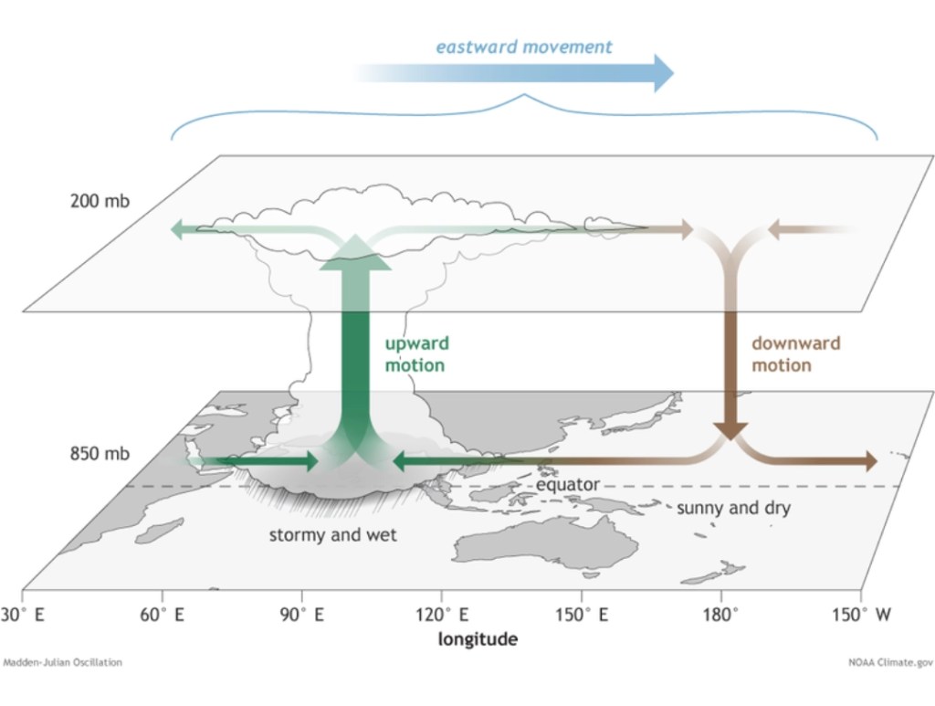
The MJO is a traveling pattern of increased and decreased cloudiness, rainfall, and wind that moves eastward along the equator. It’s like a wave of active weather that circles the globe every 30-60 days, causing shifts in tropical weather.
When the MJO is in its “wet phase” (meaning there’s more moisture and cloudiness), it encourages conditions that help typhoons form and strengthen. The Philippines, located in a tropical zone, often experiences increased rainfall and stronger thunderstorms when the MJO’s wet phase moves over the western Pacific. This phase creates a burst of upward-moving air, which is ideal for intensifying tropical systems. During the “dry phase,” however, the MJO suppresses these storms which leads to a temporary lull in typhoon activity.
Conclusion
While these atmospheric and oceanic factors guide typhoons in the Philippines, climate change throws in a new level of unpredictability. As sea temperatures keep rising, we could see typhoons not only getting stronger but also reaching places that rarely dealt with them before.
On top of that, global wind patterns and shifts in high- and low-pressure zones could send typhoons along new paths and hit areas that aren’t prepared for it. This means it’s more important than ever to understand these changes so we can better protect communities in the future.

Leave a comment